Simulation Technology for Modelling Extreme Bushfire Behaviour
Australian Research Council (ARC) Linkage Project Grant
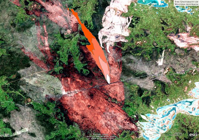
The speed at which bushfires spread depends on weather, vegetation type and time since last fire. For this project we collected data about historic bushfires from satellite imagery, coronial inquests and other sources, particularly for fires occurring during extreme weather conditions which are the most dangerous bushfires. From this data, fuel specific rates of spread was inferred and then evaluated by wildfire simulation. This contrasts with current approaches, which use observations from fire experiments in relatively mild weather conditions.
Project partners
- The Western Australian Land Information Authority (Landgate)
- Fire and Emergency Services Authority, WA (FESA)
Partial reconstruction of the Boorabbin fire, WA (2007)